Hydrographic Surveying
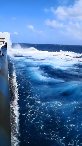
Hydrographic surveying is a fundamental task that ensures the safety of waterborne navigation and supports port construction and marine development, regarded as the “benchmark” for maritime shipping safety. Hydrographic plays an irreplaceable role in the advancement of intelligent shipping and the marine economy. The global maritime administrations are now focusing on the large-scale application of the IHO S-100 international hydrographic data model, S-101 Electronic Navigational Chart, S-102 High-Precision Bathymetry, S-131 Port Infrastructure Data etc. accelerating the iterative upgrade of the traditional IHO S-57 chart standard.
To verify the applicability and reliability in real-world complex navigation environments, as well as new S-100 data model effectiveness in enhancing navigation safety and efficiency, our branch members are engaged with systematical verification in different regions.
We save life under emergency on the sea; we help to maintain the aquatic environment by engaging ourselves in cleaning projects by the coast and in supplying materials and equipments to research organizations; we take part in diving explorations engaged with not only professional personnel but also submersibles or underwater kits as well as communication equipment.
Previous:No